What is my elevation?
Elevation Map
More Information
About Gold Coast, Queensland, Australia
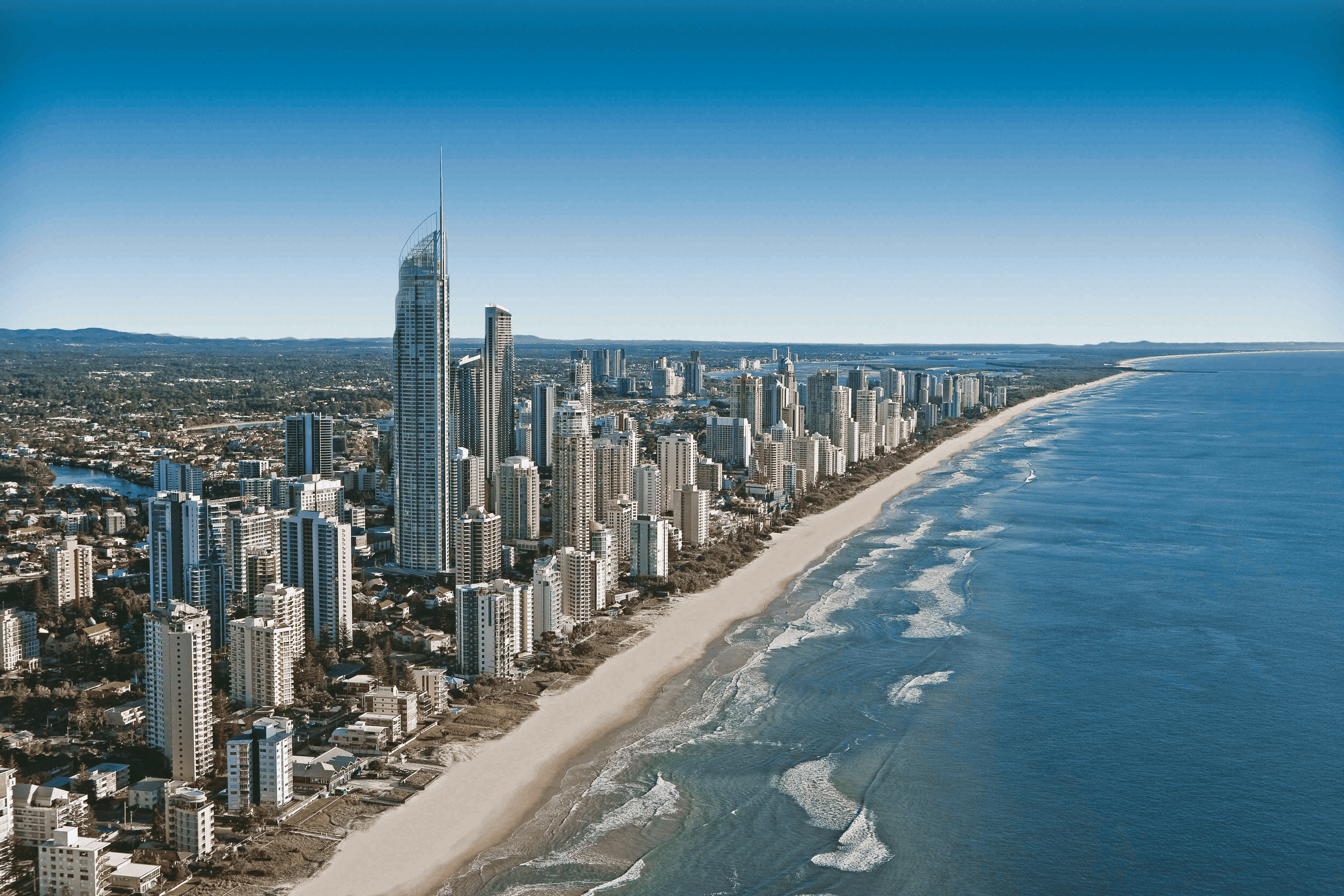
The Gold Coast, often referred to by its initials G.C., is a city in Queensland, Australia. It is Australia's sixth-largest city, the most populous non-capital city, and the state's second-largest city after Brisbane, with a population over 600,000. The Gold Coast is a coastal city and region located approximately 66 kilometres (41 mi) south-southeast of the centre of the state capital, Brisbane. The city's central business district is located roughly in the centre of the Gold Coast in the suburb of Southport. The urban area of the Gold Coast is concentrated along the coast, sprawling almost 60 kilometres, joining up with the Greater Brisbane metropolitan region to the north and to the state border with New South Wales to the south. Nicknames of the city include the ‘Glitter Strip’ and the ‘Goldy’. The demonym of a Gold Coast resident is Gold Coaster.
What is this?
This site was designed to help you find the height above sea level of your current location, or any point on Earth. When viewed from a phone that supports altitude readings, the reading will come directly from your device altitude reading and will update automatically as you move. From a computer your elevation is loaded from our API based on your location.
The elevation map also supports dragging the location pin on the map to search for nearby locations. You can also use the search bar to find any location in the world.
Why use an elevation map?
An elevation map is a topographical map that shows the height of the land above sea level. Elevation maps are also used by hikers and backpackers to determine the difficulty of a hike. Elevation maps are also used by surveyors to determine the elevation of a plot of land.
What is elevation?
Elevation is a measurement of height above sea level. Elevation typically refers to the height of a point on the earth’s surface, and not in the air. Altitude is a measurement of an object’s height, often referring to your height above the ground (such as in an airplane or a satellite). While elevation is often the preferred term for the height of your current location, altitude and height above sea level are also common.
How do you find your elevation?
Using this website you can find out your elevation no matter where you are. How does this site determine your precise elevation? The site receives GPS data from your phone. This satellite technology is also used to determine your precise location and help you navigate in apps like Google Maps.
Your phone acts as a receiver for satellite data. The time it takes for each of the satellite signals to reach the receiver are measured in relation to each other and to the speed of light. Because each of the satellites is in a different place, the three signals can be used to estimate a three dimensional position and can determine your position on the Earth to an extremely high degree of accuracy.
Using this site you can determine elevation for any location in the world, whether you are there or not. Simply enter an address anywhere in the world and you will be given its elevation in either feet or meters.
Web vs phone elevation
When you use the site on a mobile device with a built-in altimeter, your elevation is determined by your phone’s built-in altitude reading by default (this will show up as “according to your phone”). This method may be less accurate when you need the exact elevation for your location, but has the advantage of giving you real-time altitude updates as you move. This also allows you to bookmark our site to use when you are not connected to the Internet.
When visiting from a desktop computer, or when searching for an address, your elevation is determined by your GPS coordinates based on satellite data.