What is my elevation?
Elevation Map
McCormick County, South Carolina
ft
m
More Information
Boiling Point
Percent of the way up Mt. Everest
Coordinates
33.887, -82.321
About McCormick County, South Carolina
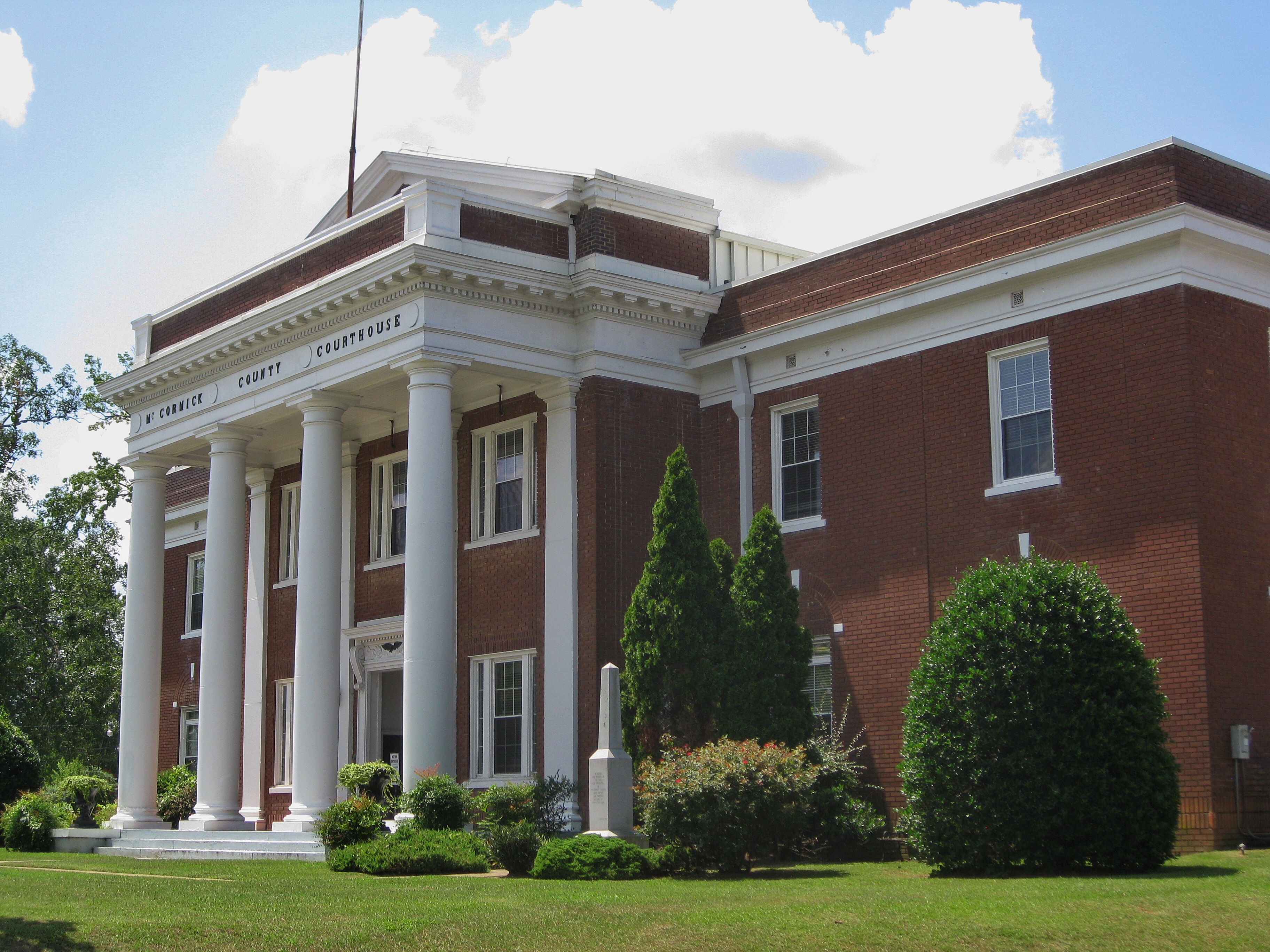
McCormick County is a county located in the U.S. state of South Carolina. As of the 2020 census, its population was 9,526, making it the second-least populous county in South Carolina. Its county seat is McCormick. The county was formed in 1916 from parts of Edgefield, Abbeville, and Greenwood counties.
What is this?
Document not found, overwrite this content with #not-found slot in <ContentDoc>.