What is my elevation?
Elevation Map
Carroll County, Ohio
ft
m
More Information
Boiling Point
Percent of the way up Mt. Everest
Coordinates
40.577, -81.092
About Carroll County, Ohio
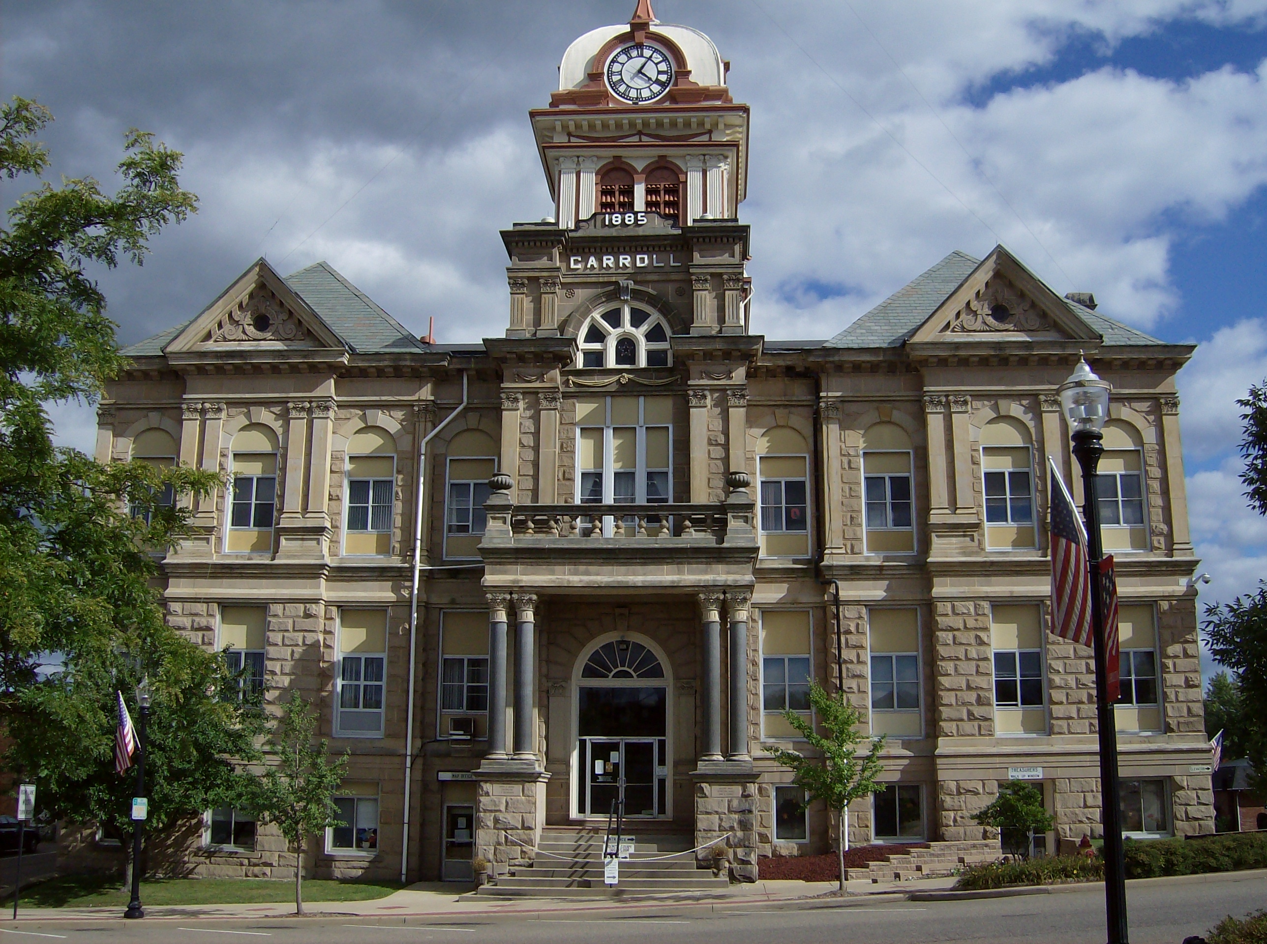
Carroll County is a county located in the state of Ohio. As of the 2020 census, the population was 26,721. Its county seat is Carrollton, while its largest village is Minerva. It is named for Charles Carroll of Carrollton, the last surviving signer of the Declaration of Independence. Carroll County is part of the Canton-Massillon, OH Metropolitan Statistical Area, which is also included in the Cleveland-Akron-Canton, OH Combined Statistical Area. It is in the Appalachian Ohio region.
What is this?
Document not found, overwrite this content with #not-found slot in <ContentDoc>.