What is my elevation?
Elevation Map
Paulding County, Ohio
ft
m
More Information
Boiling Point
Percent of the way up Mt. Everest
Coordinates
41.121, -84.573
About Paulding County, Ohio
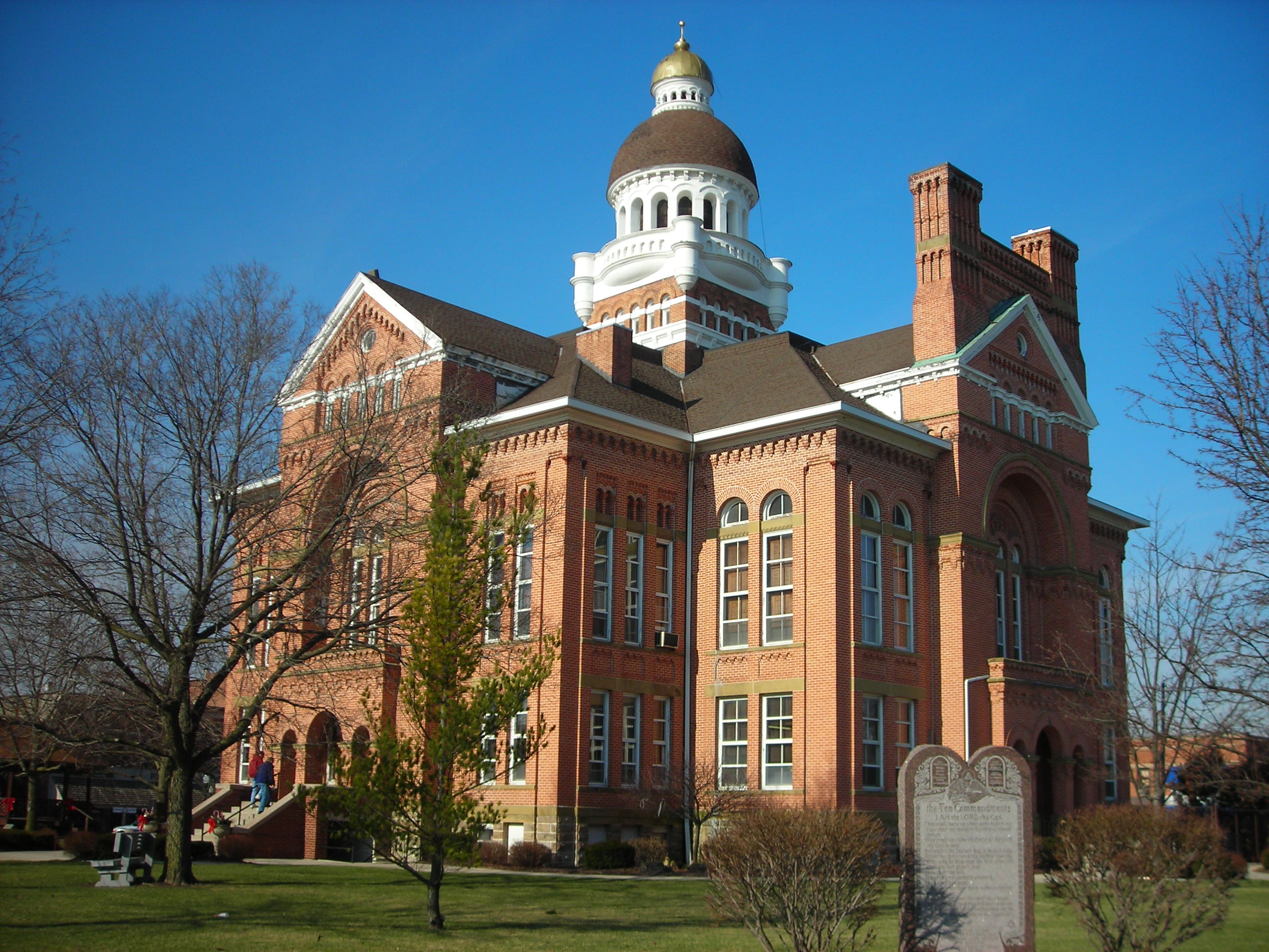
Paulding County is a county located in the U.S. state of Ohio. As of the 2020 census, the population was about 18,806. Its county seat is Paulding. The county was created in 1820 and later organized in 1839. It is named for John Paulding, one of the captors of Major John André in the American Revolutionary War.
What is this?
Document not found, overwrite this content with #not-found slot in <ContentDoc>.