Mountains near me
Nearby Mountains Map
Nearby Peaks List
About Gold Coast, Queensland, Australia
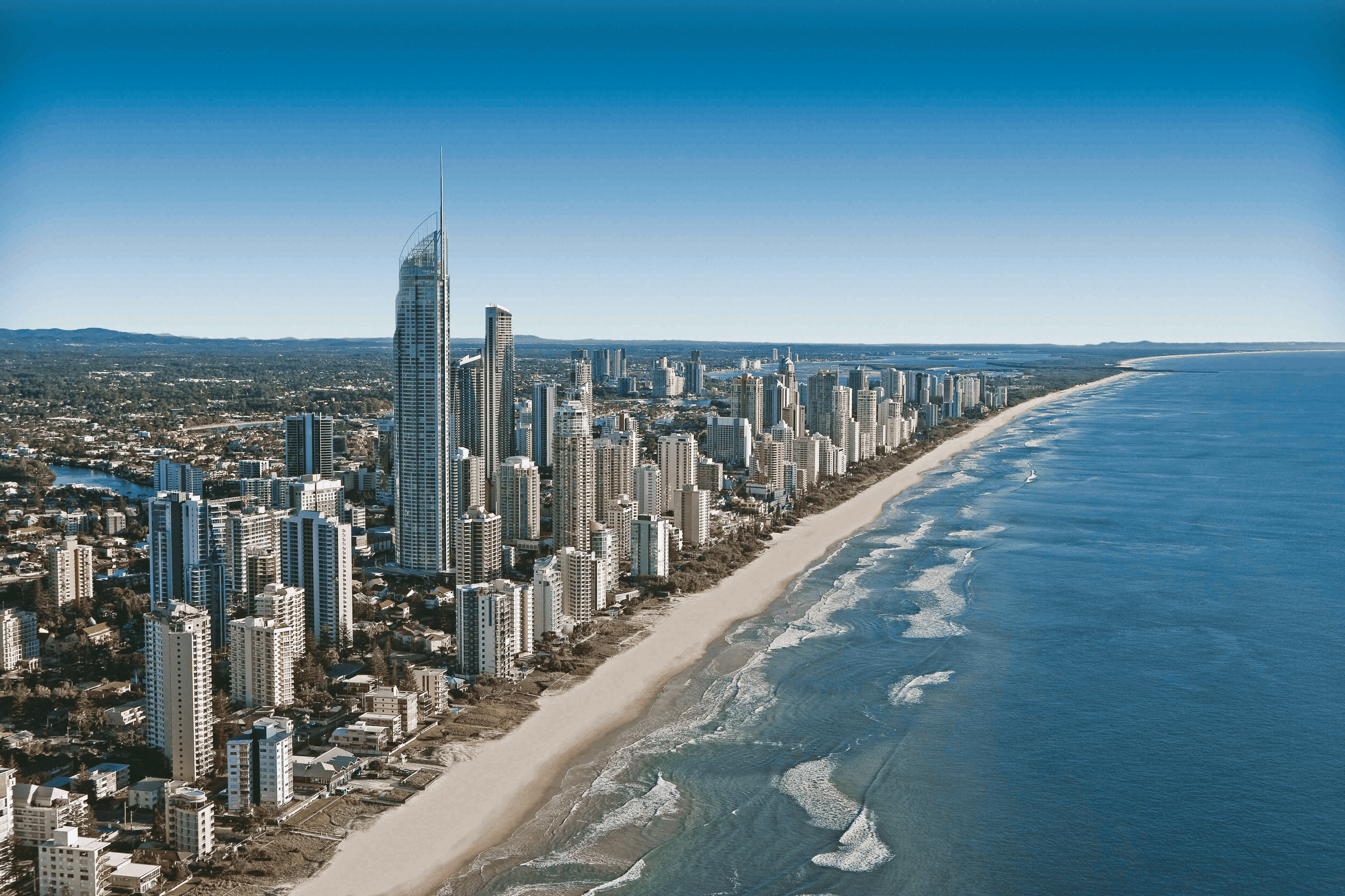
The Gold Coast, often referred to by its initials G.C., is a city in Queensland, Australia. It is Australia's sixth-largest city, the most populous non-capital city, and the state's second-largest city after Brisbane, with a population over 600,000. The Gold Coast is a coastal city and region located approximately 66 kilometres (41 mi) south-southeast of the centre of the state capital, Brisbane. The city's central business district is located roughly in the centre of the Gold Coast in the suburb of Southport. The urban area of the Gold Coast is concentrated along the coast, sprawling almost 60 kilometres, joining up with the Greater Brisbane metropolitan region to the north and to the state border with New South Wales to the south. Nicknames of the city include the ‘Glitter Strip’ and the ‘Goldy’. The demonym of a Gold Coast resident is Gold Coaster.
Find the elevation of nearby mountain peaks
What mountains are near me?
This site will help you find the mountains and peaks near your current location. It also will also show you the elevation, distance, and bearing of the mountain or peak. You can also see the mountain range to easily give verbal diretions to help someone get to your address.
What is a mountain?
A mountain is a large landform that rises above the surrounding land in a limited area, usually in the form of a peak. A mountain is generally considered to be steeper than a hill. Mountains are formed through tectonic forces or volcanism. These forces can locally raise the surface of the earth. Mountains erode slowly through the action of rivers, weather conditions, and glaciers. A few mountains are isolated summits, but most occur in huge mountain ranges.
What is a peak?
A peak is the pointed top of a mountain. The term is used in the fields of geography, geology, and earth science to describe a mountain or hill that is clearly identified by its height, shape, and location.
How do you find nearby mountains?
Using this website you can find out the mountains and peaks near your current location. How does this site determine your precise elevation? The site receives GPS data from your phone. This satellite technology is also used to determine your precise location and help you navigate in apps like Google Maps.
Your phone acts as a receiver for satellite data. The time it takes for each of the satellite signals to reach the receiver are measured in relation to each other and to the speed of light. Because each of the satellites is in a different place, the three signals can be used to estimate a three dimensional position and can determine your position on the Earth to an extremely high degree of accuracy.
Using this site you can determine elevation for any location in the world, whether you are there or not. Simply enter an address anywhere in the world and you will be given its elevation in either feet or meters.
Peaks Atlas
Our peaks atlas has a list of cities in the United States to help you find the nearby mountains for any location in the country. You can also search for any location on Earth.