Mountains near me
Nearby Mountains Map
Nearby Peaks List
About Dorado, Puerto Rico
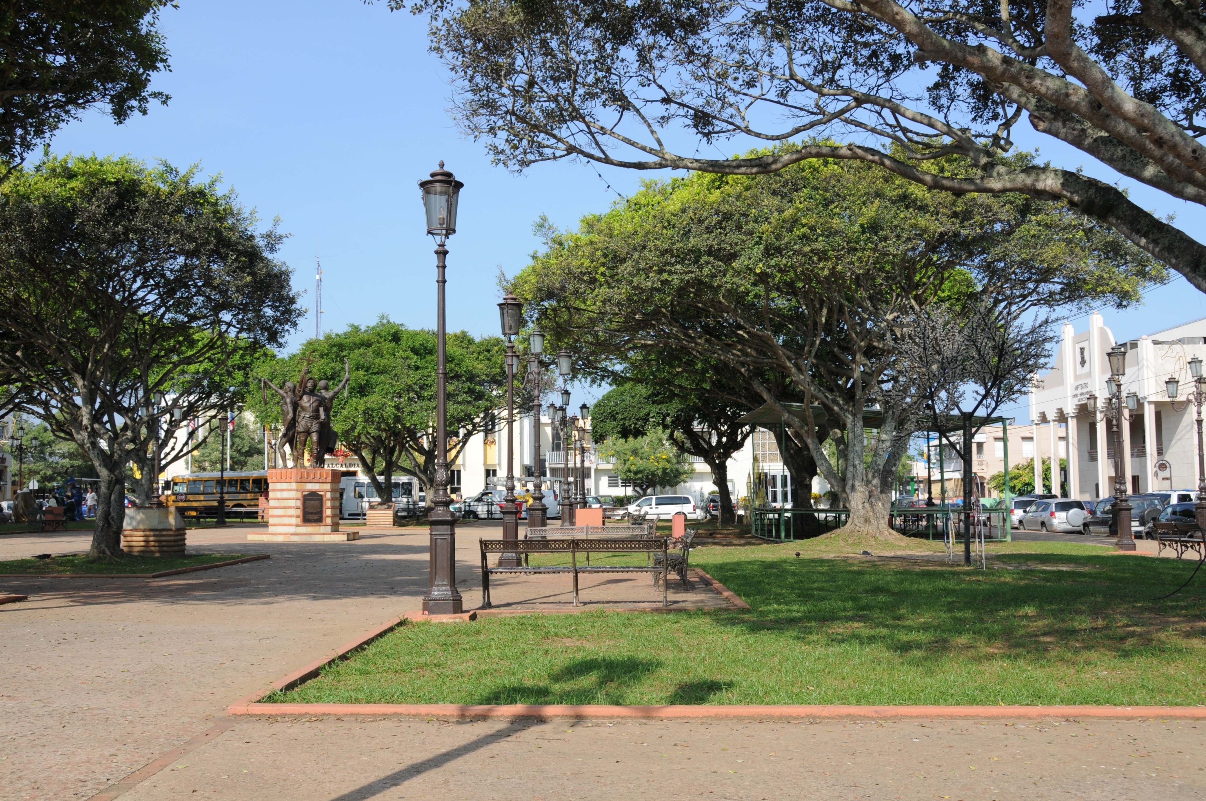
Dorado is a town and municipality on the northern coast of Puerto Rico, 15 miles (24 km) west of San Juan and is located in the northern region of the island, bordering the Atlantic Ocean, north of Toa Alta, east of Vega Alta, and west of Toa Baja. Dorado is subdivided into five barrios and Dorado Pueblo. It is part of the San Juan-Caguas-Guaynabo Metropolitan Statistical Area. During the early 18th century, there were already mentions of a "Sitio de Dorado" in some San Juan registers. Since the beginning of the Spanish colonial period and until 1831, Dorado existed as a barrio of the town of Toa Baja. Over several years, the ward grew and established its own town center called the "new pueblo" to differentiate itself from Toa Baja, which became known as the "old pueblo." Over several years, the barrios that currently make up Dorado grew and the people of the "new pueblo" wanted to separate themselves from Toa Baja.
Find the elevation of nearby mountain peaks
What mountains are near me?
This site will help you find the mountains and peaks near your current location. It also will also show you the elevation, distance, and bearing of the mountain or peak. You can also see the mountain range to easily give verbal diretions to help someone get to your address.
What is a mountain?
A mountain is a large landform that rises above the surrounding land in a limited area, usually in the form of a peak. A mountain is generally considered to be steeper than a hill. Mountains are formed through tectonic forces or volcanism. These forces can locally raise the surface of the earth. Mountains erode slowly through the action of rivers, weather conditions, and glaciers. A few mountains are isolated summits, but most occur in huge mountain ranges.
What is a peak?
A peak is the pointed top of a mountain. The term is used in the fields of geography, geology, and earth science to describe a mountain or hill that is clearly identified by its height, shape, and location.
How do you find nearby mountains?
Using this website you can find out the mountains and peaks near your current location. How does this site determine your precise elevation? The site receives GPS data from your phone. This satellite technology is also used to determine your precise location and help you navigate in apps like Google Maps.
Your phone acts as a receiver for satellite data. The time it takes for each of the satellite signals to reach the receiver are measured in relation to each other and to the speed of light. Because each of the satellites is in a different place, the three signals can be used to estimate a three dimensional position and can determine your position on the Earth to an extremely high degree of accuracy.
Using this site you can determine elevation for any location in the world, whether you are there or not. Simply enter an address anywhere in the world and you will be given its elevation in either feet or meters.
Peaks Atlas
Our peaks atlas has a list of cities in the United States to help you find the nearby mountains for any location in the country. You can also search for any location on Earth.