Mountains near me
Nearby Mountains Map
Nearby Peaks List
About San Francisco, California, United States
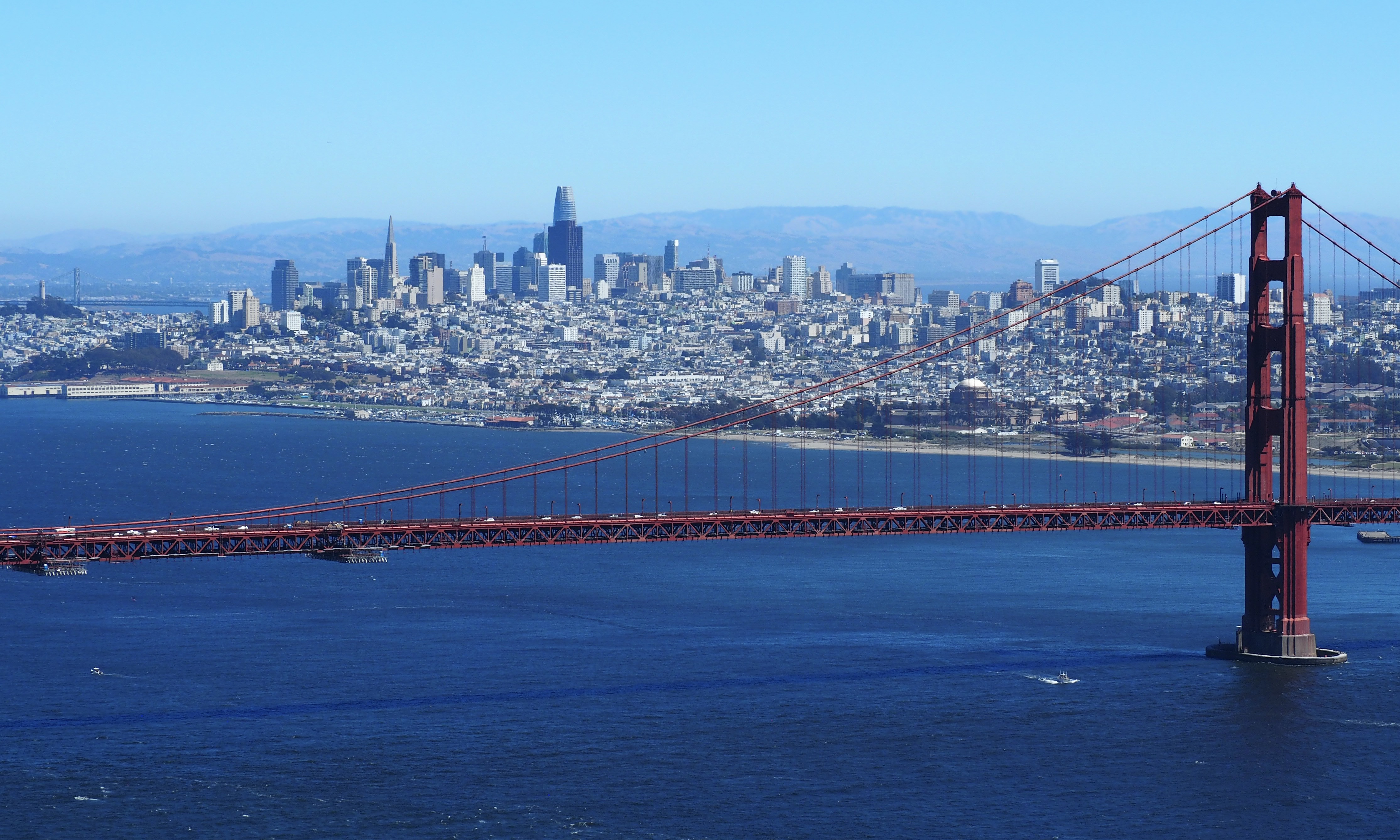
San Francisco, officially the City and County of San Francisco, is a commercial, financial, and cultural center in Northern California. With a population of 808,437 residents as of 2022, San Francisco is the fourth most populous city in the U.S. state of California. The city covers a land area of 46.9 square miles at the end of the San Francisco Peninsula, making it the second-most densely populated large U.S. city after New York City and the fifth-most densely populated U.S. county, behind only four New York City boroughs. Among the 92 U.S. cities proper with over 250,000 residents, San Francisco is ranked first by per capita income and sixth by aggregate income as of 2022. Colloquial nicknames for San Francisco include Frisco, San Fran, The City, and SF.
Find the elevation of nearby mountain peaks
What mountains are near me?
This site will help you find the mountains and peaks near your current location. It also will also show you the elevation, distance, and bearing of the mountain or peak. You can also see the mountain range to easily give verbal diretions to help someone get to your address.
What is a mountain?
A mountain is a large landform that rises above the surrounding land in a limited area, usually in the form of a peak. A mountain is generally considered to be steeper than a hill. Mountains are formed through tectonic forces or volcanism. These forces can locally raise the surface of the earth. Mountains erode slowly through the action of rivers, weather conditions, and glaciers. A few mountains are isolated summits, but most occur in huge mountain ranges.
What is a peak?
A peak is the pointed top of a mountain. The term is used in the fields of geography, geology, and earth science to describe a mountain or hill that is clearly identified by its height, shape, and location.
How do you find nearby mountains?
Using this website you can find out the mountains and peaks near your current location. How does this site determine your precise elevation? The site receives GPS data from your phone. This satellite technology is also used to determine your precise location and help you navigate in apps like Google Maps.
Your phone acts as a receiver for satellite data. The time it takes for each of the satellite signals to reach the receiver are measured in relation to each other and to the speed of light. Because each of the satellites is in a different place, the three signals can be used to estimate a three dimensional position and can determine your position on the Earth to an extremely high degree of accuracy.
Using this site you can determine elevation for any location in the world, whether you are there or not. Simply enter an address anywhere in the world and you will be given its elevation in either feet or meters.
Peaks Atlas
Our peaks atlas has a list of cities in the United States to help you find the nearby mountains for any location in the country. You can also search for any location on Earth.