Rain Totals
Station Readings
About Mount Vernon, Washington
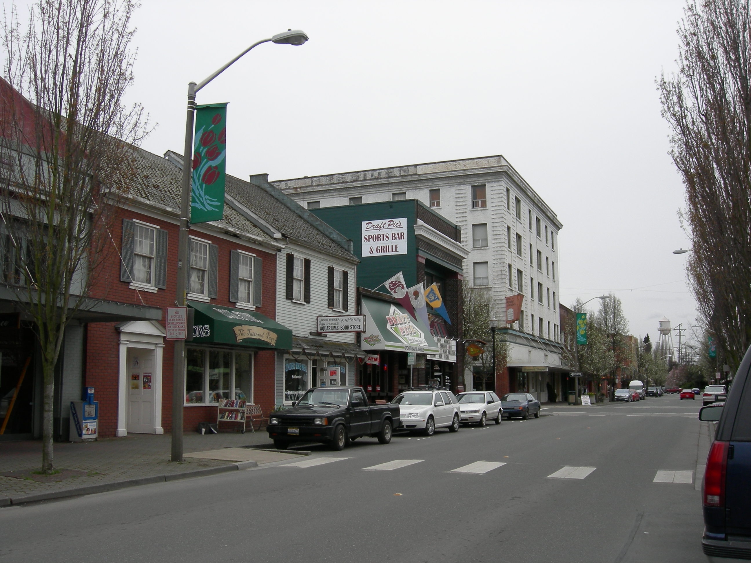
Mount Vernon is the most populous city in, and county seat of, Skagit County, Washington, United States. A central location in the Skagit River Valley, the city is located 51 miles south of the U.S.–Canada border and in between Vancouver, British Columbia and Seattle. The population was 35,219 at the 2020 census., making it the 35th most-populous city in Washington, with a larger 62,966 people living in its urban area. It is one of two principal cities of and included in the Mount Vernon-Anacortes, Washington Metropolitan Statistical Area, covering most of Skagit County.
Find precipication totals and recent rainfall near you
Weather websites are very good at reporting how much rain is forecast for the next day or week, but often make it difficult to see what the actual precipitation totals are at the end of a storm. This site attempts to correct that by combining and simplifying data from the National Weather Service and the NOAA.
This site pulls data from multiple different sources of data from the National Weather Service and the National Weather Service NOHRSC to create the easiest way to find the most accurate precipitation data in your area. The data is updated throughout the day as station readings are reported, usually no more than once an hour.
You can view the precipitation totals for storms as well as nearby reports from weather stations across the country. You can also view the rain forecast for the next two days, and see a map of the recent rainfall in your area. You can use your current location to quickly get a sense of the current rain in your area or you can search for any address or city to see the precipitation in that area.
Rain Totals Atlas
Our rain totals atlas has a list of cities in the United States to help you find the recent precipitation of any location in the country.