Snow Totals
Station Readings Map
Station Readings
About Rowland Heights, California
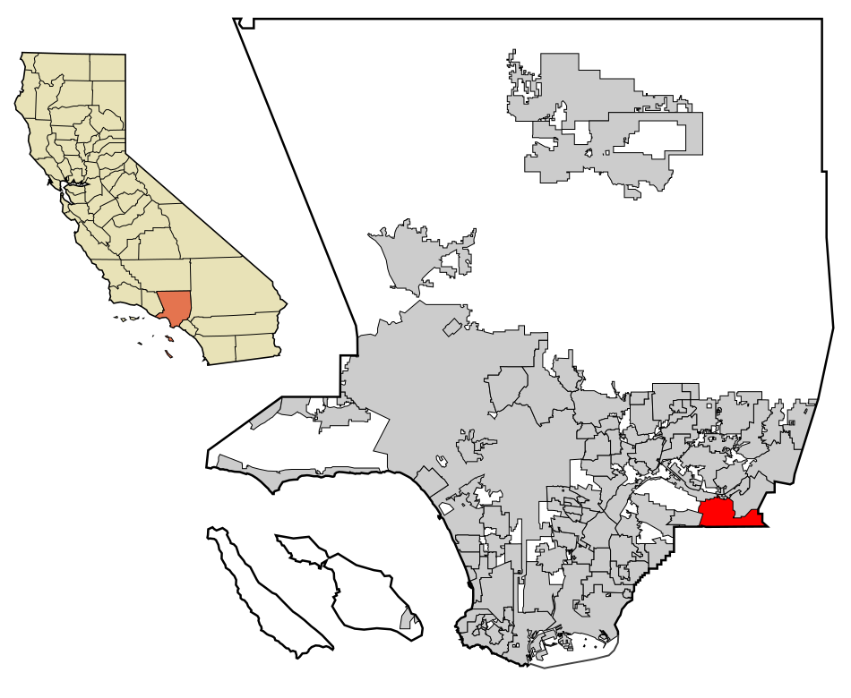
Rowland Heights is an unincorporated area in and below the Puente Hills in the San Gabriel Valley, in Los Angeles County, California, United States. The population was 48,231 at the 2020 census. Rowland Heights is in the Los Angeles metropolitan area and represented by the County of Los Angeles and is the largest census designated place in Los Angeles County by area and the county's fourth largest CDP by population. The area has a high Taiwanese population and was known as “Little Taipei” in the 1980s and 1990s, when it saw an influx of wealthy immigrants from Taiwan.
Find snowfall totals and snow depth near you
Weather websites are very good at reporting how much snow is forecast for the next day or week, but often make it difficult to see what the actual snowfall was at the end of the storm. This site attempts to correct that by combining and simplifying data from the National Weather Service and the NOAA.
This site pulls data from multiple different sources of data from the National Weather Service and the National Weather Service NOHRSC to create the easiest way to find the most accurate snowfall data in your area. The data is updated throughout the day as station readings are reported, usually no more than once an hour.
You can view the snow accumulation, snow depth, and snowfall for your recent winter storms as well as nearby snow reports from weather stations across the country. You can also view the snowfall forecast for the next two days, and see a map of the recent snowfall in your area. You can use your current location to quickly get a sense of the current snowfall in your area or you can search for any address or city to see the snowfall in that area.
Snow Totals Atlas
Our snow totals atlas has a list of cities in the United States to help you find the recent snowfall of any location in the country.