Snow Totals
Station Readings Map
Station Readings
About Lake Oswego, Oregon
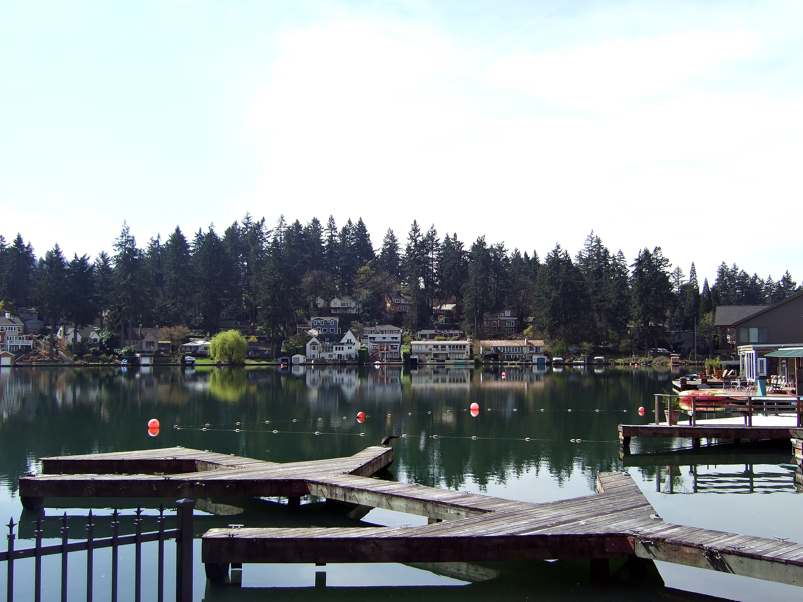
Lake Oswego is a city in the U.S. state of Oregon, primarily in Clackamas County, with small portions extending into neighboring Multnomah and Washington counties. Population in 2020 was 40,731, a 11.2% increase since 2010, making it the 11th most populous city in Oregon. Located about 7 miles (11 km) south of Portland and surrounding the 405-acre (164 ha) Oswego Lake, the town was founded in 1847 and incorporated as Oswego in 1910. The city was the hub of Oregon's brief iron industry in the late 19th century, and is today a suburb of Portland.
Find snowfall totals and snow depth near you
Weather websites are very good at reporting how much snow is forecast for the next day or week, but often make it difficult to see what the actual snowfall was at the end of the storm. This site attempts to correct that by combining and simplifying data from the National Weather Service and the NOAA.
This site pulls data from multiple different sources of data from the National Weather Service and the National Weather Service NOHRSC to create the easiest way to find the most accurate snowfall data in your area. The data is updated throughout the day as station readings are reported, usually no more than once an hour.
You can view the snow accumulation, snow depth, and snowfall for your recent winter storms as well as nearby snow reports from weather stations across the country. You can also view the snowfall forecast for the next two days, and see a map of the recent snowfall in your area. You can use your current location to quickly get a sense of the current snowfall in your area or you can search for any address or city to see the snowfall in that area.
Snow Totals Atlas
Our snow totals atlas has a list of cities in the United States to help you find the recent snowfall of any location in the country.