What Indigenous territories am I in?
Native Lands Map
More Information
What native lands am I currently in?
Find the Indigenous territories you are currently on. Consider the Indigenous history of your area and reflect on the effects of colonization by exploring the native lands at your location. Data provided by Native Land. Data should be considered approximate and should not by itself be considered an authoritative source.
About Randolph County, Arkansas
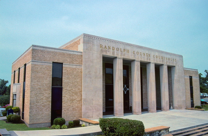
Randolph County is located between the Ozark Mountains and Arkansas Delta in the U.S. state of Arkansas. The county is named for John Randolph, a U.S. senator from Virginia influential in obtaining congressional approval of the Louisiana Purchase, which includes today's Randolph County. Created as Arkansas's 32nd county on October 29, 1835, Randolph County has two incorporated cities, including Pocahontas, the county seat and most populous city. The county is also the site of numerous unincorporated communities and ghost towns.
About Indigenous rights
Indigenous rights are those rights that exist in recognition of the specific condition of the Indigenous peoples. This includes not only the most basic human rights of physical survival and integrity, but also the rights over their land, language, religion, and other elements of cultural heritage that are a part of their existence and identity as a people. This can be used as an expression for advocacy of social organizations, or form a part of the national law in establishing the relation between a government and the right of self-determination among its Indigenous people, or in international law as a protection against violation of Indigenous rights by actions of governments or groups of private interests.