What ZIP code am I in?
ZIP Code Map
More Information
What is my zipcode?
This tool will help you find out the ZIP code of your current location. Whether you are mailing a letter to a new address, getting acquainted with your new address, or visiting somewhere new, this site will help you learn everything about your current location and address. This tool will help you confirm your postal code in countries throughout the world.
ZIP Code Map
Our map of all zip codes in the United States is an amazing resource that has proven to be helpful to many people. By default the map is zoomed into your current location, or the target of your address search. From there you can see the boundaries of your ZIP code and of all the ZIP codes in your city, county, and state.
What are ZIP Codes?
The United States Post Office created the ZIP code system in 1963 to help the postal service track the delivery of mail. The system was originally only used for tracking the delivery of mail, but it has now been adapted to help people with addresses keep track of their shipments as well. The ZIP code system has now become an important part of everyday life in the United States. Most people in the United States have a ZIP code, even if they have never used it for anything.
The term ZIP is an acronym for Zone Improvement Plan. It was chosen to suggest that the mail travels more efficiently and quickly (zipping along) when senders use the code in the postal address.
ZIP Code Atlas
Our zipcode atlas has a list of cities in the United States to help you find the ZIP code of any location in the country, and also the postal code of any location in the world.
About Chula Vista, California
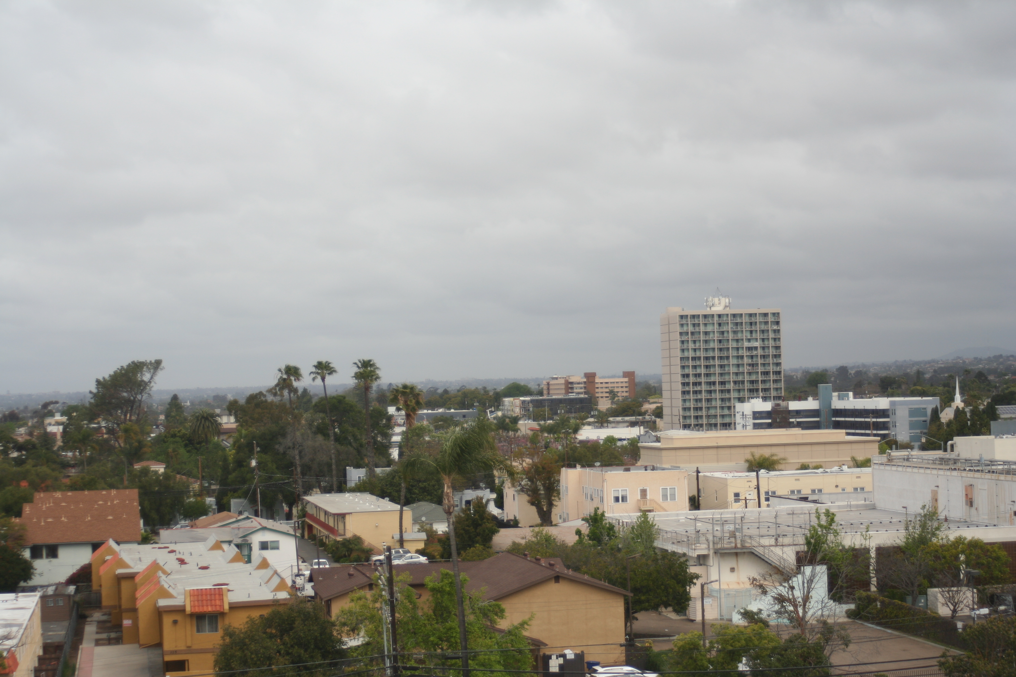
Chula Vista is a city in San Diego County, California, United States. It is also the second-largest city in the San Diego metropolitan area, the seventh largest city in Southern California, the fifteenth largest city in the state of California, and the 78th-largest city in the United States. The population was 275,487 as of the 2020 census, up from 243,916 as of the 2010 census. Located about halfway—7.5 miles (12.1 km)—between the two downtowns of San Diego and Tijuana in the South Bay, the city is at the center of one of the richest culturally diverse zones in the United States. Chula Vista is so named because of its scenic location between the San Diego Bay and coastal mountain foothills.
About ZIP code

A ZIP Code is a system of postal codes used by the United States Postal Service (USPS). The term ZIP was chosen to suggest that the mail travels more efficiently and quickly when senders use the code in the postal address.