What ZIP code am I in?
ZIP Code Map
More Information
What is my zipcode?
This tool will help you find out the ZIP code of your current location. Whether you are mailing a letter to a new address, getting acquainted with your new address, or visiting somewhere new, this site will help you learn everything about your current location and address. This tool will help you confirm your postal code in countries throughout the world.
ZIP Code Map
Our map of all zip codes in the United States is an amazing resource that has proven to be helpful to many people. By default the map is zoomed into your current location, or the target of your address search. From there you can see the boundaries of your ZIP code and of all the ZIP codes in your city, county, and state.
What are ZIP Codes?
The United States Post Office created the ZIP code system in 1963 to help the postal service track the delivery of mail. The system was originally only used for tracking the delivery of mail, but it has now been adapted to help people with addresses keep track of their shipments as well. The ZIP code system has now become an important part of everyday life in the United States. Most people in the United States have a ZIP code, even if they have never used it for anything.
The term ZIP is an acronym for Zone Improvement Plan. It was chosen to suggest that the mail travels more efficiently and quickly (zipping along) when senders use the code in the postal address.
ZIP Code Atlas
Our zipcode atlas has a list of cities in the United States to help you find the ZIP code of any location in the country, and also the postal code of any location in the world.
About Salem, Virginia
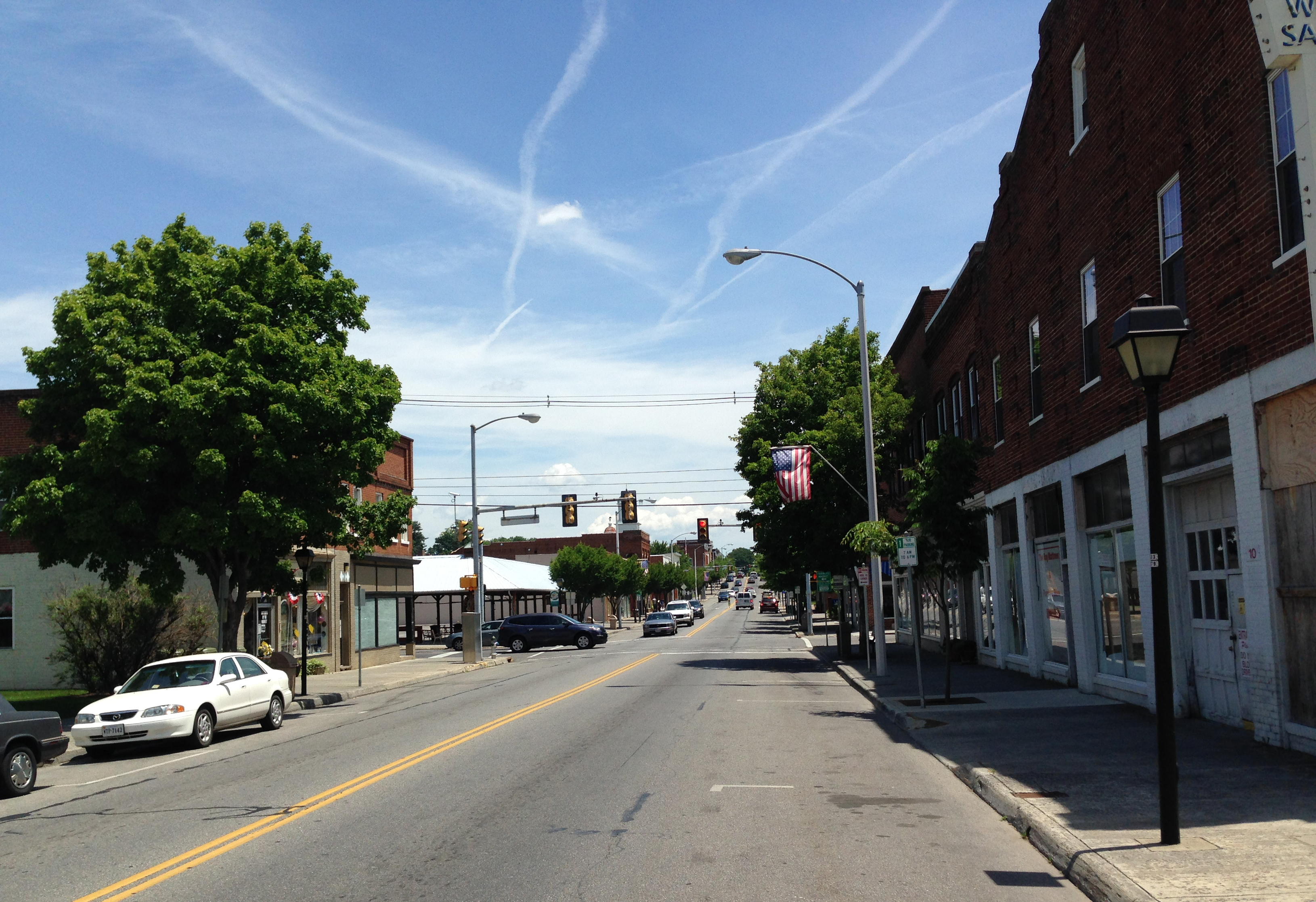
Salem is an independent city in the U.S. commonwealth of Virginia. As of the 2020 census, the population was 25,346. It is the county seat of Roanoke County, although the two are separate jurisdictions. The Bureau of Economic Analysis combines the city of Salem with Roanoke County, which surrounds both Salem and the neighboring City of Roanoke, for statistical purposes. Salem has its own courthouse and sheriff's office, but shares a jail with Roanoke County, which is located in the Roanoke County Courthouse complex in Salem. The Roanoke County Sheriff's Office and Roanoke County Department of Social Services are also located within Salem, though the county administrative offices are located in unincorporated Cave Spring.
About ZIP code

A ZIP Code is a system of postal codes used by the United States Postal Service (USPS). The term ZIP was chosen to suggest that the mail travels more efficiently and quickly when senders use the code in the postal address.