What ZIP code am I in?
ZIP Code Map
More Information
What is my zipcode?
This tool will help you find out the ZIP code of your current location. Whether you are mailing a letter to a new address, getting acquainted with your new address, or visiting somewhere new, this site will help you learn everything about your current location and address. This tool will help you confirm your postal code in countries throughout the world.
ZIP Code Map
Our map of all zip codes in the United States is an amazing resource that has proven to be helpful to many people. By default the map is zoomed into your current location, or the target of your address search. From there you can see the boundaries of your ZIP code and of all the ZIP codes in your city, county, and state.
What are ZIP Codes?
The United States Post Office created the ZIP code system in 1963 to help the postal service track the delivery of mail. The system was originally only used for tracking the delivery of mail, but it has now been adapted to help people with addresses keep track of their shipments as well. The ZIP code system has now become an important part of everyday life in the United States. Most people in the United States have a ZIP code, even if they have never used it for anything.
The term ZIP is an acronym for Zone Improvement Plan. It was chosen to suggest that the mail travels more efficiently and quickly (zipping along) when senders use the code in the postal address.
ZIP Code Atlas
Our zipcode atlas has a list of cities in the United States to help you find the ZIP code of any location in the country, and also the postal code of any location in the world.
About Waltham, Massachusetts
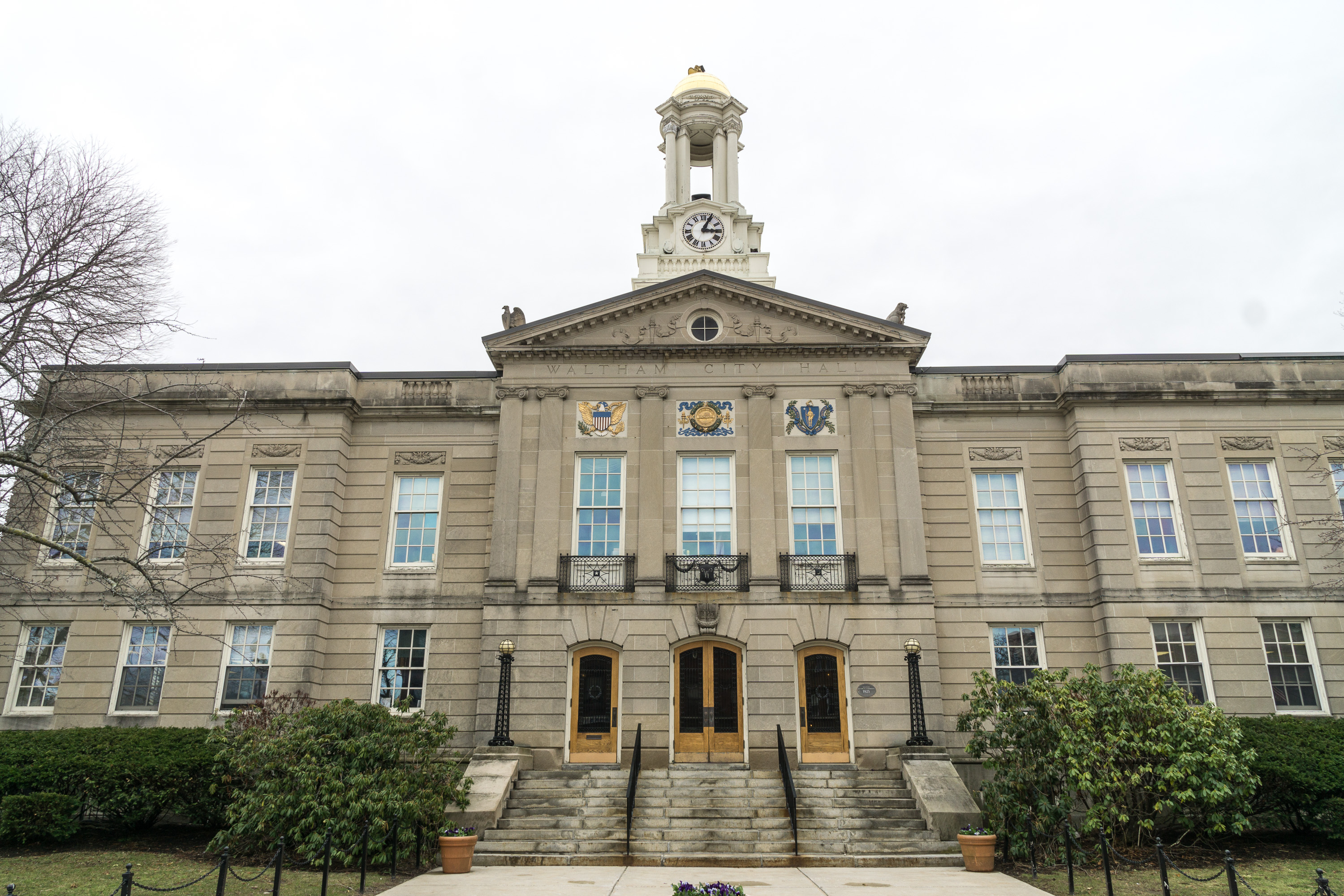
Waltham is a city in Middlesex County, Massachusetts, United States, and was an early center for the labor movement as well as a major contributor to the American Industrial Revolution. The original home of the Boston Manufacturing Company, the city was a prototype for 19th century industrial city planning, spawning what became known as the Waltham-Lowell system of labor and production. The city is now a center for research and higher education, home to Brandeis University and Bentley University as well as industrial powerhouse Raytheon Technologies. The population was 65,218 at the census in 2020.
About ZIP code

A ZIP Code is a system of postal codes used by the United States Postal Service (USPS). The term ZIP was chosen to suggest that the mail travels more efficiently and quickly when senders use the code in the postal address.