What township am I in?
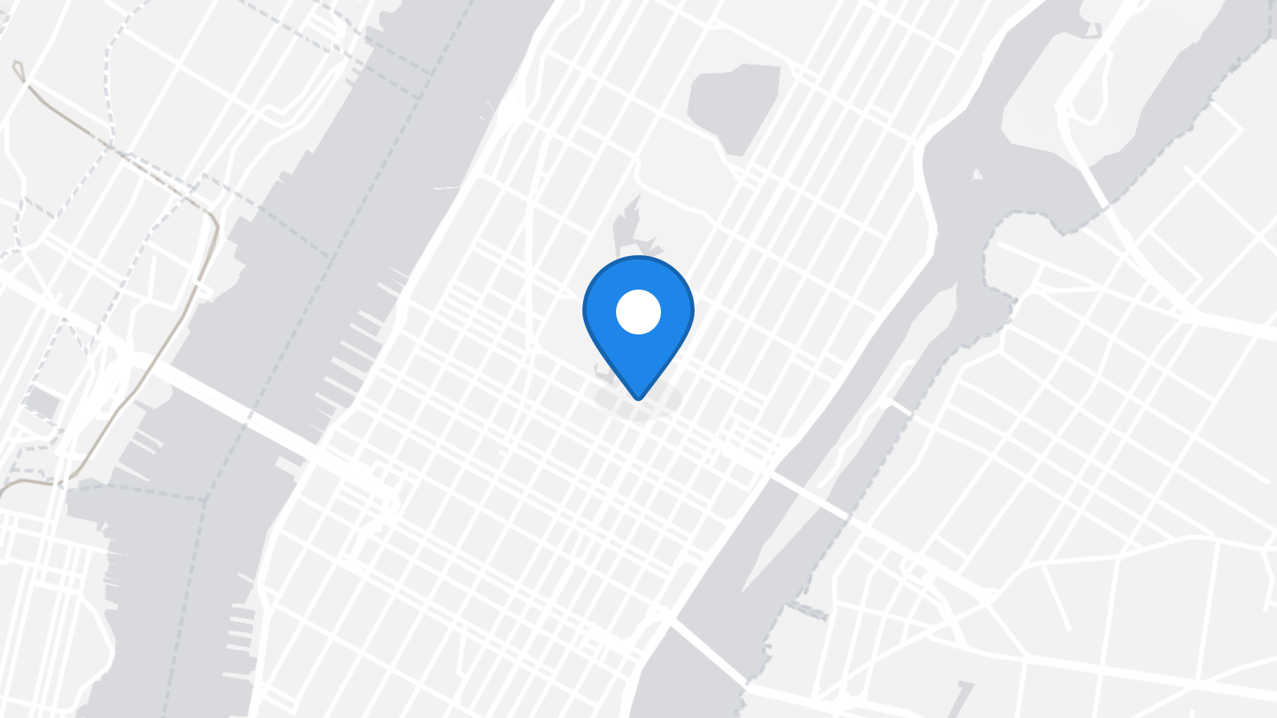
Township Map
More Information
What is my township?
Find what township you are in based on your current location, along with your full address and GPS coordinates (latitude and longitude). See information about your current township and a map of townships in your state. A township is defined as a subdivision of your county based on United States Census data. This can include: Cities, Townships, Towns, Incorporated Places, Election Precints, Districts, Territories and other county subdivisions.
Here are a few reasons you might want to know your current town:
- Confirm your legal township while traveling. This will be important if you ever get in an accident or have to contact the authorities.
- You try asking Google or Alexa or Siri what your township is, but they do not have a GPS to help you.
- You need to find your township to correctly apply for permits and other local services.
What township am I in right now?
To find your current township, you need to accept the browser request to access your device location or click "get location" above. If you do not want to share your GPS with this site you can instead search by entering your current address above.
What township am I in by ZIP code?
Your zipcode is a quick way to find your approximate location, and to search for what county you are in. Click "Change" above and enter your ZIP code to see what county a given zip code is in. Note that not all of a ZIP code is necessarily in only one county, so make sure to look at the township map for final reference. You can also drag the map marker to recalculate.
What township am I in by address
When you search for your address, this page will tell you what county you are in. When you search for an address, we look up the GPS coordinates for the address (or zipcode, city, etc) to find the township that it is located in.
Township Atlas
Our township atlas has a list of cities in the United States to help you find the township of any location in the country.
About Township (United States)
A township in some states of the United States is a small geographic area.